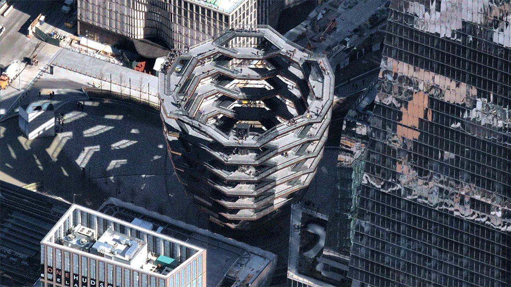
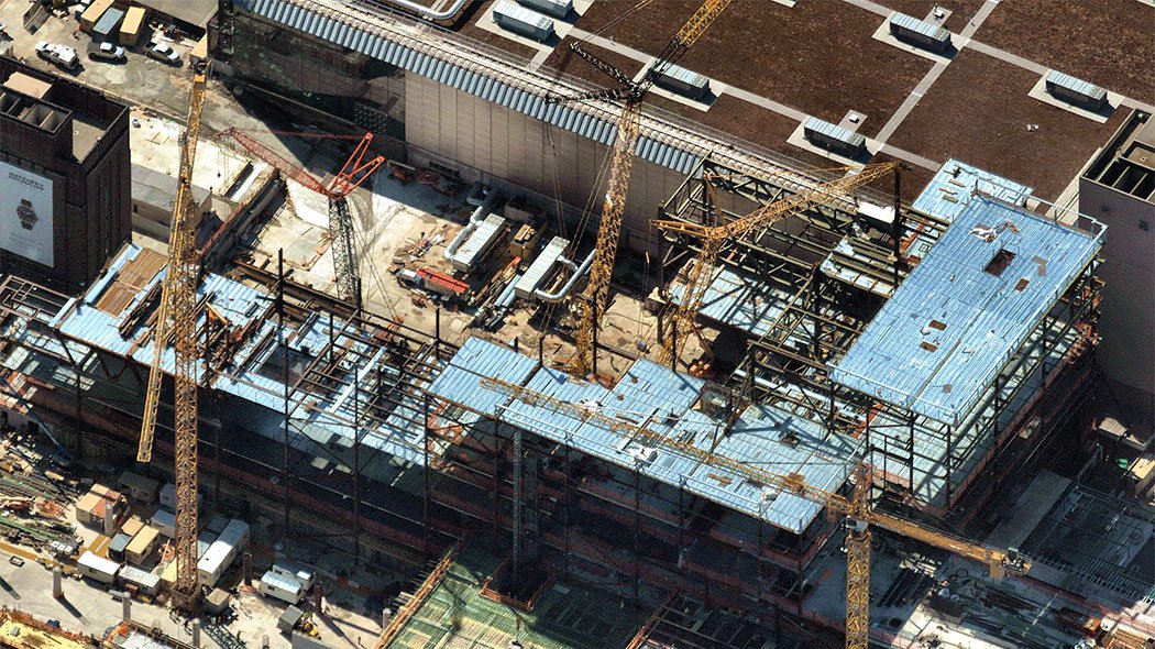
HD AERIAL IMAGERY HELPS ARCHITECTURE, ENGINEERING & CONSTRUCTION
HD AERIAL IMAGERY HELPS ARCHITECTURE, ENGINEERING & CONSTRUCTION
SWIFTLY SPOT OPPORTUNITY AND BOOST PRODUCTIVITY
Looking to increase productivity while reducing the cost and risk of site visits?
Let high-resolution aerial imagery do the work for you.
Lorem Ipsum is simply dummy text of the printing and typesetting industry. Lorem Ipsum has been the industry's standard dummy text ever since the 1500s.
Lorem Ipsum is simply dummy text of the printing and typesetting industry. Lorem Ipsum has been the industry's standard dummy text ever since the 1500s.
Lorem Ipsum is simply dummy text of the printing and typesetting industry. Lorem Ipsum has been the industry's standard dummy text ever since the 1500s.
Lorem Ipsum is simply dummy text of the printing and typesetting industry. Lorem Ipsum has been the industry's standard dummy text ever since the 1500s.

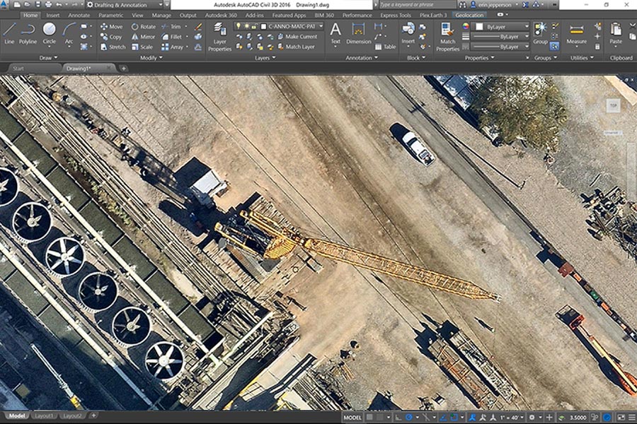
| Reduce risk, travel time & costly site visits | |
| Instantly access from any connected device | |
| Measure precise distance or area in seconds | |
| Browse current, historical or leaf-off imagery | |
| Communicate clearly with stunning proposals |
Lorem Ipsum is simply dummy text of the printing and typesetting industry, when an unknown printer took a galley of type and scrambled it to make a type specimen book.
Printer took a galley of type and scrambled it to make a type specimen book.
Lorem Ipsum passages, and more recently with desktop publishing software like Aldus PageMaker including versions of Lorem Ipsum.
© 2019 Nearmap Ltd. / Nearmap US, Inc.
☎ 1-844-463-2762 | Terms of Use | Privacy Policy